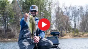
We like DNR agencies that actually focus on helping anglers catch more fish. The Oklahoma Department of Wildlife Conservation has taken it a step further giving anglers GPS waypoints to piles of cover they have placed on various fisheries. Anglers can access the GPS waypoints of manmade fish attractors in 102 Oklahoma lakes right now on wildlifedepartment.com.
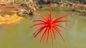
The Wildlife Department’s website provides a link on the homepage that directs anglers to a list of lakes where fisheries personnel have submerged a range of fish attractors such as cut cedar trees, tire reefs, spider blocks, brush piles and even old car bodies. By clicking on the name of any lake, anglers can access the coordinates for the sunken fish attractors and plug them right into their GPS. Also listed with each lake is the type fish attracting structure that has been submerged and other unique details that may be available such as the area name where the attractors can be found, their submerged depth, date of placement and whether or not they are marked or accessible from the bank or for persons with disabilities.
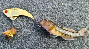
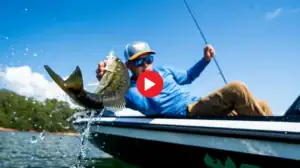
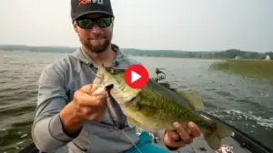
“These fish attractors can concentrate larger numbers of fish in specific areas,” said Barry Bolton, chief of fisheries for the Wildlife Department. “This can give anglers an edge, especially if they know a few details about where to find the structure or how deep they are under the surface of the water. It can take some of the guessing out of the decision of where to fish, and hopefully can help our anglers have more success.”