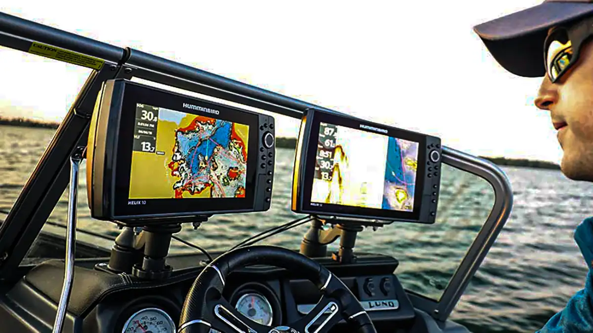
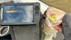
Having good mapping is essential for being efficient on the water. This is especially true during the summer months when the majority of fish are located offshore. Having an accurate map helps with not only safely navigating your waterway, but it also allows you to have a better understanding of your lakes contours and underwater structures. This understanding directly relates to making you a more efficient and successful angler.
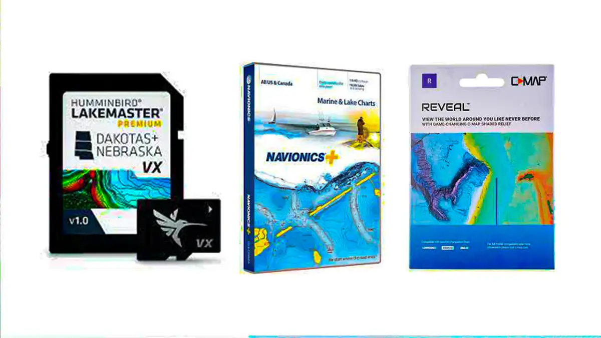
Each map can have varying contours and preloaded structure depending on how recent your map is. There are numerous different mapping companies available who all offer a different variety of maps, each of which has their own benefits. Some of the most popular companies include C-Map, Navionics and LakeMaster. This feature will cover some of the most important aspects of choosing and utilizing the best map for your desired body of water.
DEPTH SHADING
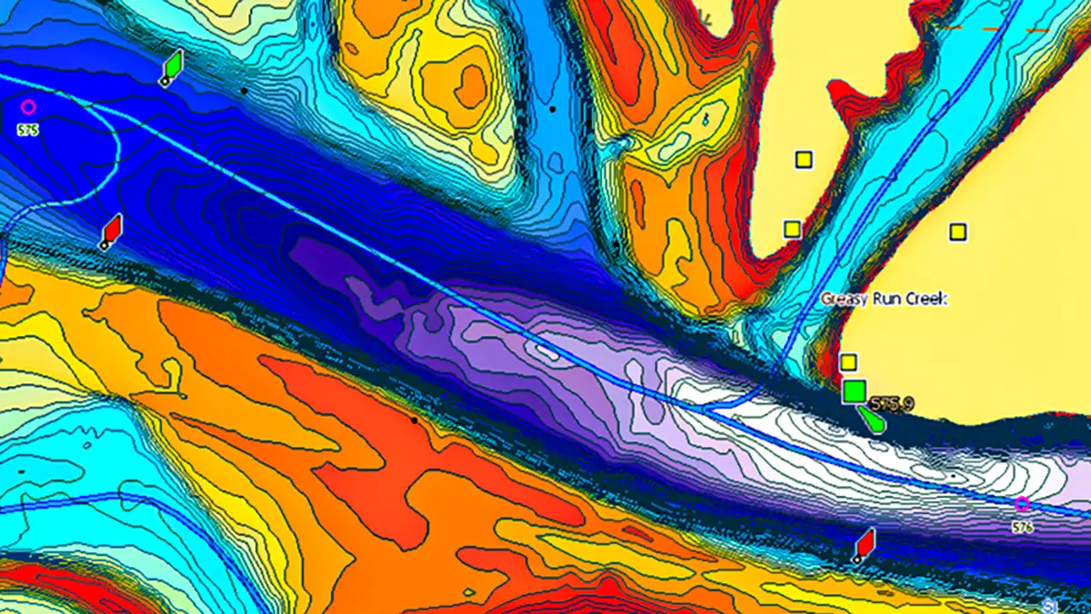
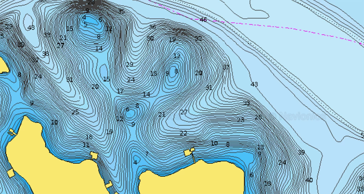
Depth shading is a great tool for quickly breaking down maps and understanding how your body of water lays out. This allows you to color coordinate specific depths on your map allowing you to quickly see how deep the water is in specific areas of your lake. I often use this tool when I’m running a pattern fishing at a specific depth.
If you find a school of fish on a point in 15 feet of water, it makes it very easy to quickly glance at your map and locate other areas in your lake that set up the same. This allows you to efficiently locate other similar locations and continue fishing this pattern all over the lake.
I like to highlight potentially hazardous areas to drive over in the color red. I typically do this for areas that are 5 feet or less in depth. My typical color pallet for my maps consist of 5 feet or less in the color red, 10 feet in the color orange, 20 feet in the color yellow, 30 feet in the color green and 40 feet I the color blue. I then use the color white for all other depths since I typically don’t fish deeper than 40 feet for bass.
This depth shading option is available on both C-Map and the new LakeMaster VX chip. C-Map chips are compatible with Lowrance depth finders, and the LakeMaster chips are compatible with the Hummingbird depth finders. While depth shading is a super important tool for locating productive areas if your lake, another important aspect is preloaded structure.
PRELOADED STRUCTURE
Both C-Map, Navionics and LakeMaster comes with specific structures such as docks, roadbeds or rock piles preloaded on their map cards. These can be super effective when trying to locate specific pieces of structure without ever spending any time on the body of water.
One of my favorite aspects of the Navionics mapping chip is that it comes pre-loaded with the size and location of all the docks on the lake. This allows you to see how many docks are in a specific area as well as how big they are and their shape. This helps with running a shallow-water dock pattern and really helps cut down on time when trying to quickly locate more docks to fish. This is my favorite map to run while fishing a shallow dock pattern.
Another preloaded structure that I have found extremely useful is preloaded rock. C-Map chips oftentimes come with tons of preloaded rock piles. I have found this feature super useful when fishing up north. This allows you to quickly locate boulders and rock piles that northern smallmouth often use for cover without having to spend any time graphing. While these map cards don’t have all of the rock marked, its a great place to start when trying to locate smallmouth in big water.
In August of 2021, I made a trip to the St. Lawrence River to compete in the College Bassmaster National Championship. During this trip, I was targeting rock piles and current seams by drifting a drop shot over them in the current. On day one of the event, we weighed in right under 20 pounds which has us sitting right outside of the top-12 cut. However on day two we decided to change things up and start on a rock pile we found using our C-Map chip.
We ended up catching over 21 pounds of smallmouth off this hole shooting us all the way to 6th place going into the final day. We then followed it up with another good bag allowing us to finish off the tournament still in 6th place. We never would have found this rock pile if it wasn’t for the preloaded rock indicator that came on the C-Map card. This was an essential tool for us in locating specific rock piles and boulders these smallmouth were using to spawn on.
Another essential tool for locating bass, especially this time of year is preloaded road beds and submerged bridges. All of these mapping companies have preloaded road beds and bridges on their maps, however they don’t all have the same ones. This is when I like to really use all three of these maps in order to have the best understanding of what lies under the water. This is especially crucial this time of year when fish are schooled up offshore.
These roadbeds are a great spot to locate these schools, and having a map that shows them really cuts down on the graphing time. One of my favorite cards for locating these roadbeds in the Hummingbird LakeMaster card. I mostly fish in the lower Alabama region, which is where LakeMaster is based out of. They have some of the most accurate contours for this region of the country given their geographic location.
C-MAP GENESIS
C-Map Genesis is a free online collection of lakes created by other anglers. This allows you to go out and create your own contours on a lake by idling around. You are also able to use other people’s generated maps for bodies of water that were previously uncharted. This is a great tool for fishing smaller lakes that other mapping cards haven’t previously mapped.
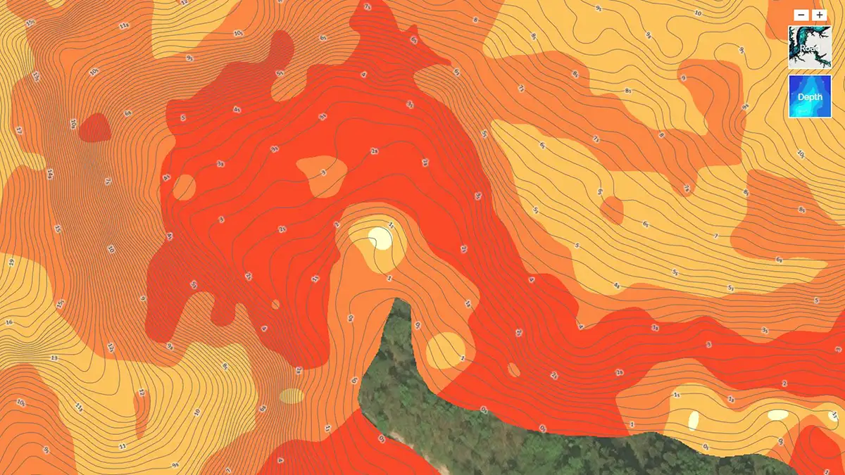
C-Map Genesis also offers vegetation and bottom composition layers. These layers show you specific hard spots throughout your lake such as shell beds and and rocky bottoms. This a great tool for fishing in areas where fish group up offshore on these harder bottoms such as on the Tennessee River or Florida lakes.
The vegetation layer also shows you where in your lake has submerged vegetation. This is great for targeting submerged grass during the summer months or any other time of year where fish group up on this submerged vegetation. Both of these tools can help with cutting down on graphing time and help you quickly locate productive areas in your lake.
CHOOSING THE RIGHT MAP
No matter what brand mapping you chose, it is import to chose a map that’s specific to your region. This insures you will have the most accurate and up to date topographical information for your desired bodies of water. All three of these companies sell map cards for specific states or regions. This allows you to purchase the maps that are specific to the areas you want to fish.
Being from the south, I have purchased the Southeast region map cards for C-Map, Navionics and LakeMaster since these are the bodies of water I frequent to most. This is the most cost efficient way to get the best mapping for the majority of lakes in your area. However, if I find myself traveling out of town to a lake I don’t typically fish, I will often purchase a map card that only has that specific state since I likely won’t be fishing the entire region often.
Another great feature that comes standard with most depth finders is a base map. This base map covers tons of different bodies of water without ever having to purchase a map card. This can really come in handy when you show up to fish a new lake and realize you don’t have a map card for that specific body of water. While these maps don’t typically have the most accurate contour lines, they are great in a pinch if you ever forget to purchase mapping for a specific body of water.
All three of these mapping companies provide great maps that can help you locate some of the most productive areas on your lake. Each company has their own unique features that can help you be a more efficient angler. All three of these mapping brands work great on their own, however, when they are used in tandem it truly gives you the best possible understanding of your desired body of water. This collaboration of maps will give you an edge on the water and really cuts down on the learning curve when exploring a new lake.

![[VIDEO] How Brandon Palaniuk Uses the One-Boat Network App](https://www.wired2fish.com/wp-content/uploads/2025/06/one-boat-network-300x169.webp)
![[VIDEO] How to Install the Garmin Force Pro Trolling Motor](https://www.wired2fish.com/wp-content/uploads/2025/06/trolling-motor-install-300x169.webp)