

Using modern technology to your advantage is a must in today’s fishing world, especially when it comes to finding fishing spots. Satellite Imaging is one tool that often gets overlooked when it comes to locating and catching fish. Wired2fish’s Mitch Anderson breaks down what technology he uses and how he uses it to find new fishing spots.
GEAR USED:
- OnX Hunt App
- Humminbird FishSmart App
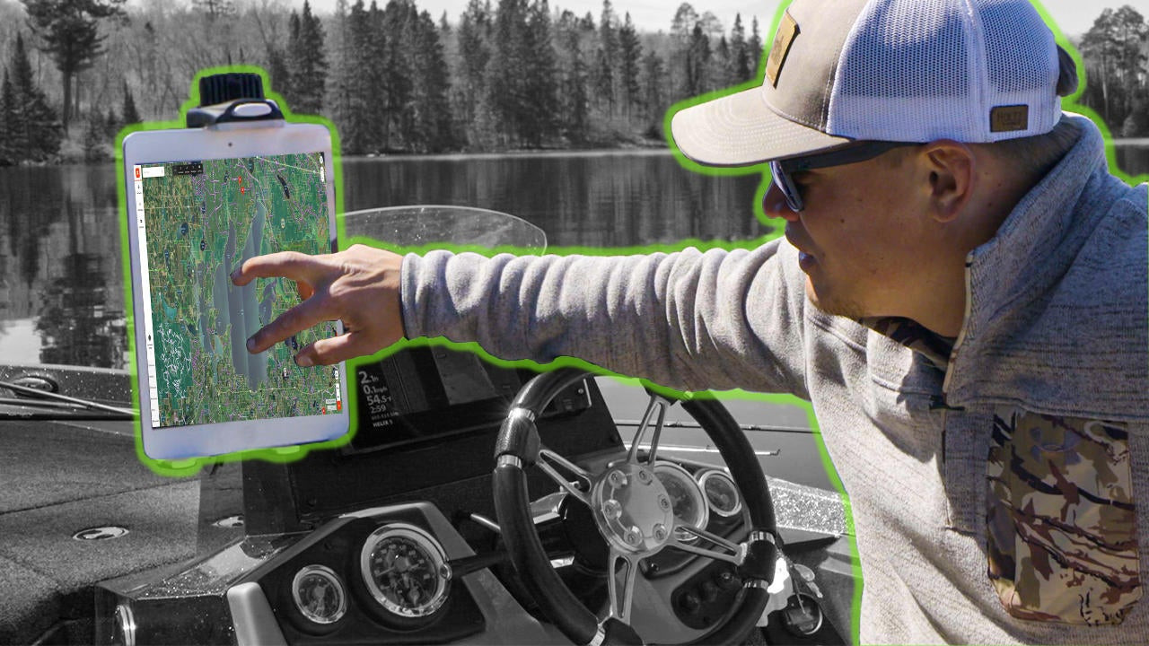
- Humminbird LakeMaster Mapping
- Humminbird HELIX 9 CHIRP MEGA SI+ GPS G4N
- Rokk Universal Tablet Clamp
- Costa Del Mar Rincon Sunglasses
When it comes to satellite imaging, there are a few different options out there. Mitch usually goes with the mobile app onX Hunt, because you can download your maps for use when cell service is unavailable. However, there are times when google earth will give you a better picture if you can pull it up.
Using a mapping application like FishSmart from Humminbird can be the perfect storm in conjunction with satellite imaging. The ability to cross-reference what you see on satellite imaging with what is on your map is beneficial. It usually gives you a better understanding of what you are looking at as a whole.


