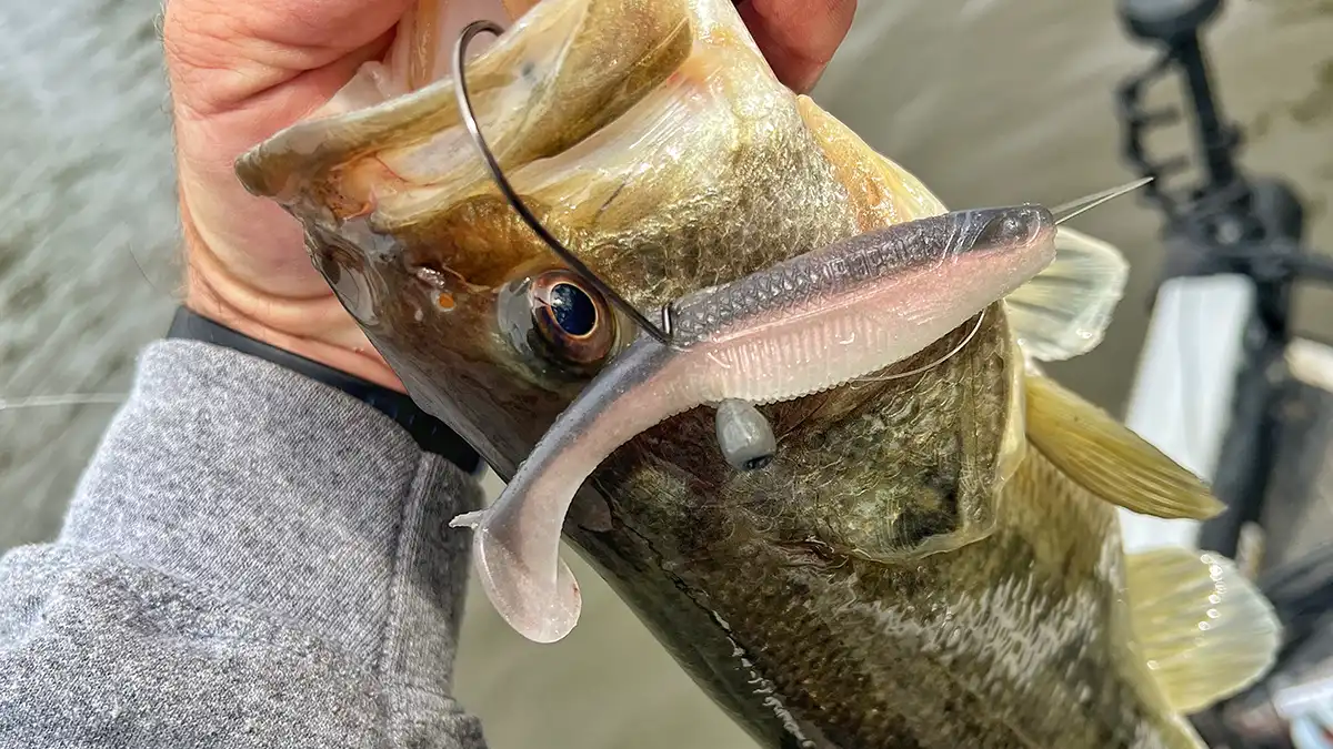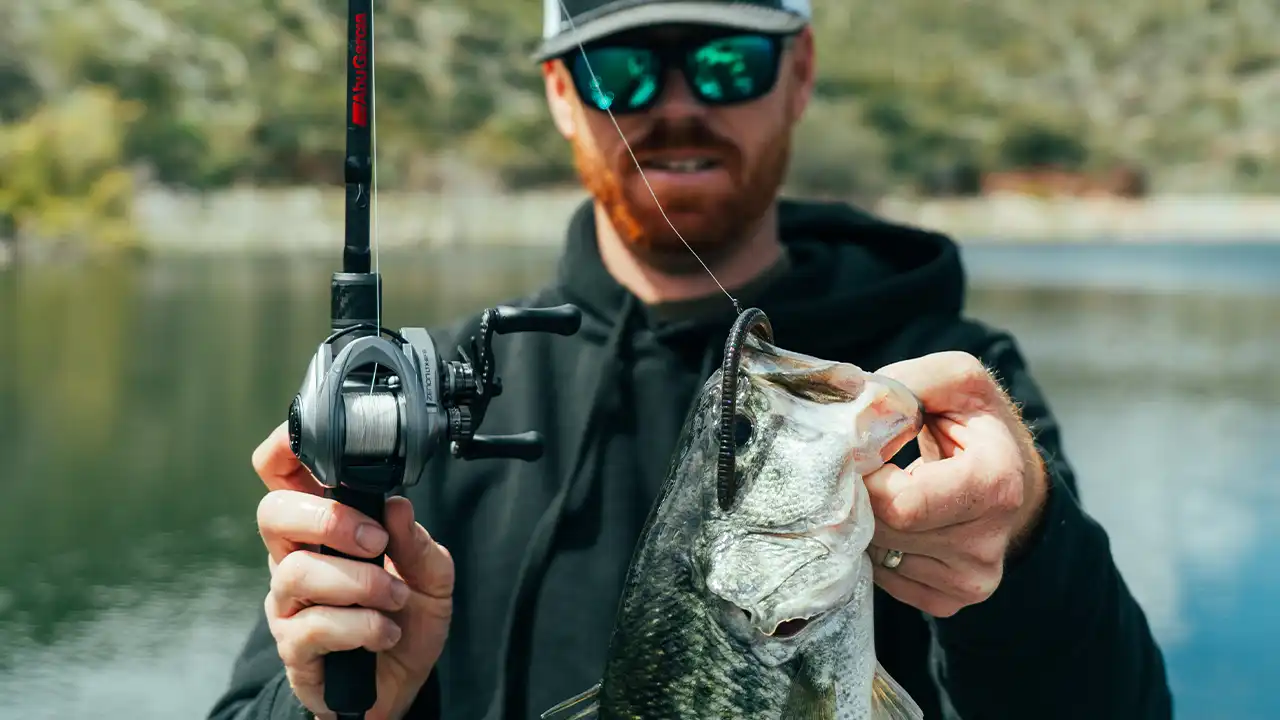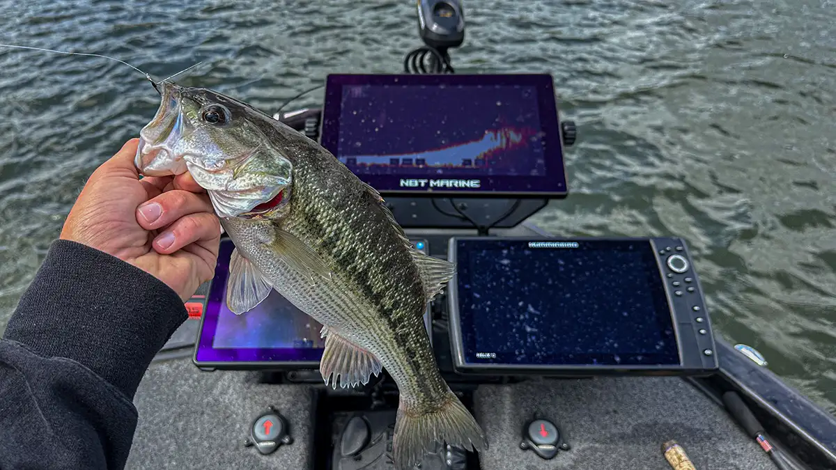

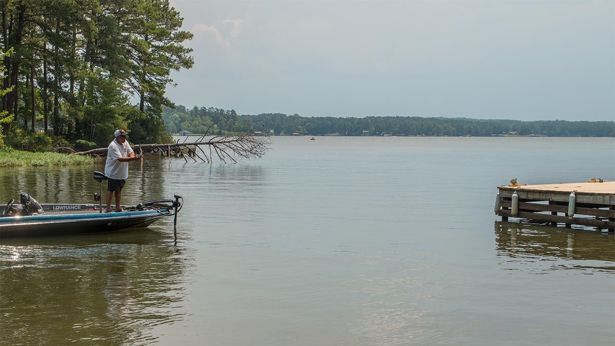
The technology in today’s fishing industry is incredibly impressive and it seems we reach new heights as each year passes. While I appreciate and utilize many of these technologies, I’m also a penny pincher when it comes to my family’s hard-earned money. I totally understand that some folks simply can’t afford to pay thousands of dollars to improve their chances, so I wanted to put together a quick piece about some really inexpensive (and mostly free) uses of technology that can help you catch more bass. Fishing is for everybody, no matter what your paycheck says.
I use these technologies every week and will continue to do so. No sales pitches, none of that stuff; just stuff that’ll help you catch ’em on your next trip.
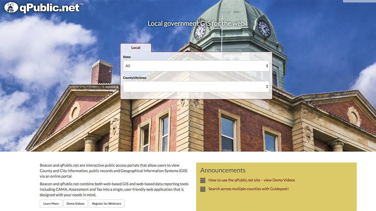
qPublic.net
Every red-blooded bass angler has had this happen to them: You’re driving down the road, minding your own business and all of the sudden you pass by one of the best-looking ponds you’ve ever seen. Lily pads, stumps, shoreline grass; it has it all and you can almost smell that 10-pounder hiding under that log. After almost running off the road, you just wish you could have permission to fish it.
I’ve done this quite a bit. Anytime I’m traveling, I’m carefully scoping out the sexiest ponds I can find. Just don’t tell that to my insurance company.
qPublic.net is a very powerful tool when it comes to learning who owns any nearby private ponds (and hunting land too, for that matter). I don’t condone trespassing in any way, shape or form. I don’t want people trespassing on my property, so I don’t do it to others. But if I can look up the property owners of these ponds and get in touch with them, I can politely ask them for permission to fish on their property. What’s the worst they can say?
Some of the best private ponds I’ve fished have been because of this website. Don’t pester anyone, but a simple phone call or a handwritten letter in their mailbox certainly won’t hurt.
By the way, “Q-Pub” as I call it, is totally free. No strings attached.
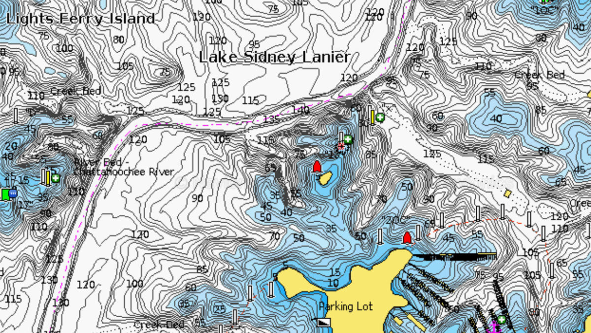
Navionics Webapp
Whether you have great electronics, not-so-good electronics or no electronics at all, you’ll be able to appreciate the convenience of the Navionics Webapp. I learned about it in college and it has been bookmarked on my computer ever since.
Within a few seconds, you can pull up very detailed mapping of your favorite fisheries. This can not only help you mark spots on your own paper map, but it can also make for some excellent study time when you’re not on the water. No matter what lake you fish or how often you fish it, you can always learn more about its contours and overall layout.
The next time you’re bored in the evening or heck, even at work, pull it up and start scrolling around. You’ll burn a few hours before you know it and if you’re like me, you’ll get kind of addicted to it.
Navionics Webapp is also completely free of charge.
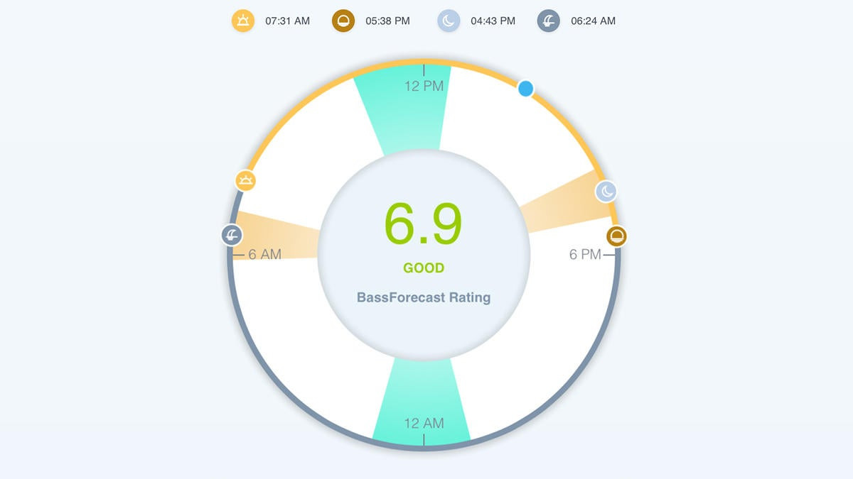
BassForecast
For most working folks, time off is hard to come by. So if you’re trying to decide which day is best for that rare “sick day”, BassForecast is a really useful tool. Essentially, it tells you which day is best for fishing along with both major and minor feeding windows for your exact location.
We have a free version of BassForecast on our website, which tells you rating for the current day. The full BassForecast app, however, takes it one step further by feeding all the weather data and trends into its algorithm to more accurately give you the best options for fishing. It can feed all the weather data into its system and then recommend the days, times, locations and even the fishing lures you should try to catch bass on your next trip.
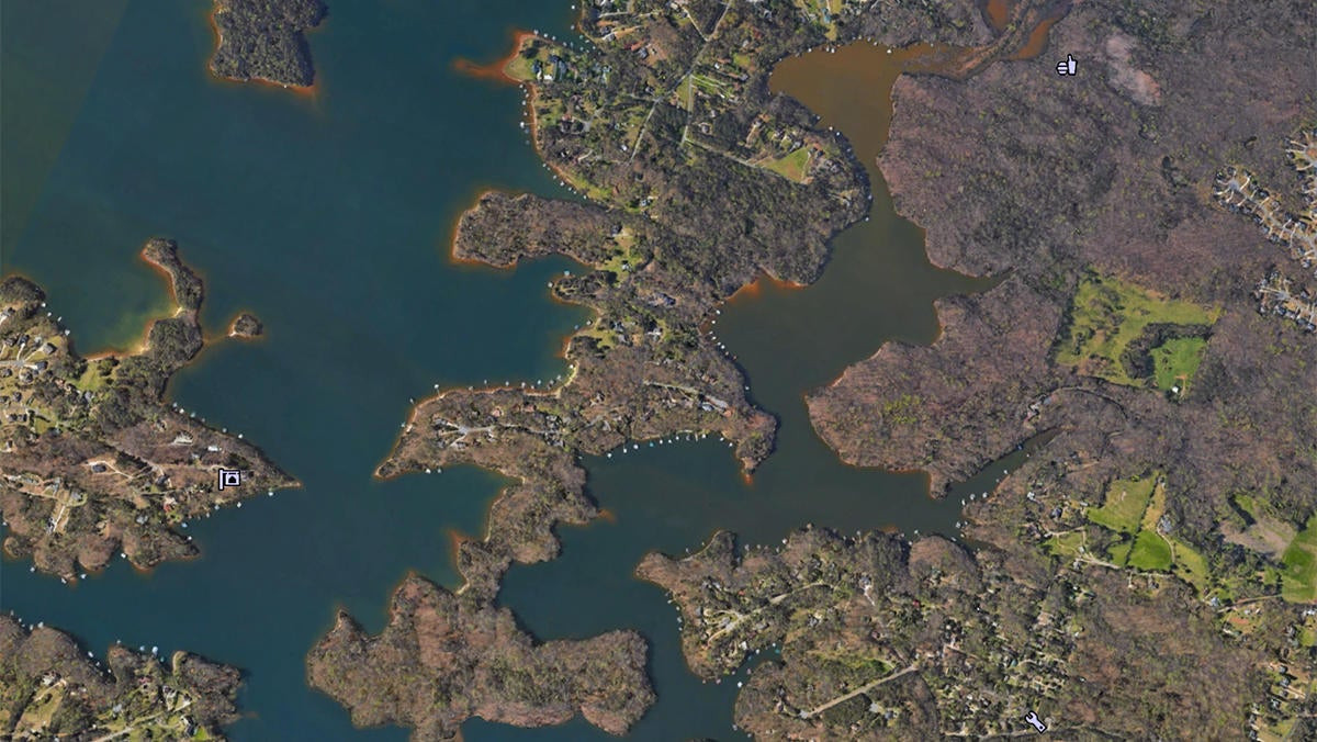
Google Earth
I don’t think I could ever count the hours I’ve spent on Google Earth over the years. While some may use it to check out historical sites and things of that nature, I sure don’t. It’s like a virtual encyclopedia of every lake in the world.
It’s easy to spend hours on this program. You can find older satellite images of most lakes to explore various water levels, find hidden underwater cover, discover which areas of the lake are most prone to water color changes, look for the best-looking boat docks or grass beds… the possibilities are endless. If you haven’t tried it, you’ll be like a kid in a candy store when you do. Google Earth is also completely free of charge.
If you want to catch more bass, don’t be afraid to utilize technology. More importantly, it’s important to understand that technology doesn’t always have to be expensive. If you put a little computer work in and do a little homework, I can guarantee you’ll have a better year of fishing.