
More detailed views of underwater contours are expanding comprehension of better fishing spots for professional anglers.
What it is
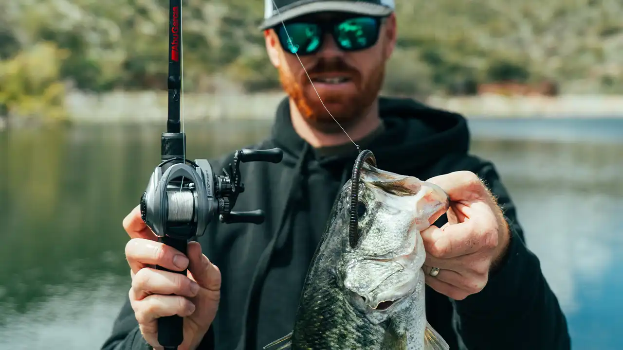
When Jason Christie’s breaking down a lake, or looking for specifically desirable bass fishing scenarios, monitoring depth variances has always been an obvious part of the search. However, contour lines can only show you so much when, in fact, it’s the insightful perspective born of intimate detail that helps an angler find the best fishing spots.
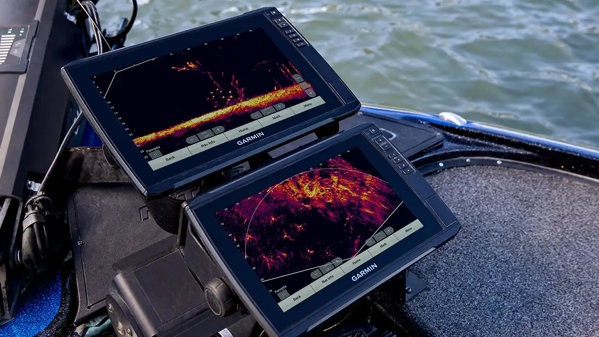
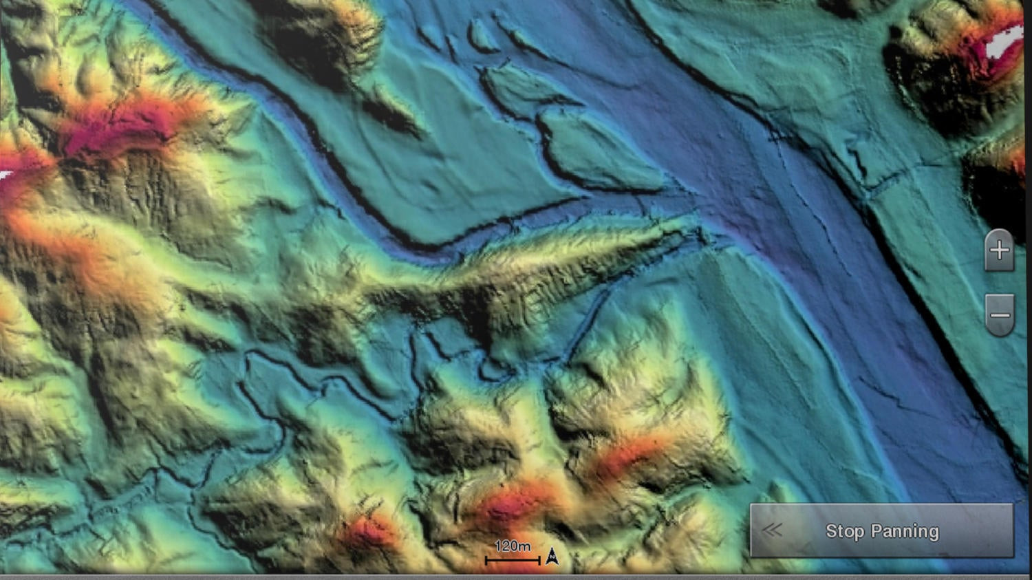
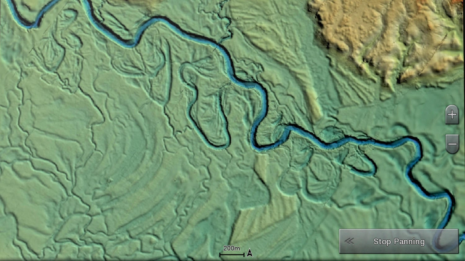
Garmin recently made this process a lot easier by offering high-resolution relief shading with its BlueChart g3 Vision and LakeVü g3 Ultra cartography products. Offered via accessory cards and downloads, the new technology drops out the contour lines and shows you a new relief image of the bottom.
“It’s like draining the lake and being able to see the ditches, the high spots and things like that through relief shading,” Christie said. “For so many years, we’ve been used to having the contour lines. I can visualize that picture in my head, where the deep water is and where the shallow water is; but some people struggle to translate it quickly.
“This offers a lot quicker look at that depth picture. So, for those people who have to look at (a depth chart) and follow the contour lines, this makes it a lot quicker and more defined because you see the bottom just like it is.”
Think of it like a resume vs. a job interview. The former provides the general reference info, while the latter shows you the personal traits — that firm handshake and good eye contact stuff.
Where it really shines
Noting that Garmin’s high-resolution relief shading originates from the raw images of lake surveying, Christie said one of the obvious seasonal advantages will be the instant recognition of the spring migratory routes. Snooping around spawning pockets becomes much more refined when you see those ditches and travel lanes.
“Also, in the summertime, you’ll be able to see where these fish may come out and stage up for the summer,” Christie said. “Really, I see it being used year-round, but I think the biggest times will be in the spring and the summer whenever these fish are migrating.
“The really good spots — the humps and the points — those things really pop out in the (contour) mapping,” Christie said. “With this technology, the really sneaky stuff that is good, but may not be as obvious, it makes that stand out even more. Something like a small turn in a flat, or a saddle. This new technology makes something that’s otherwise hidden really show up.”
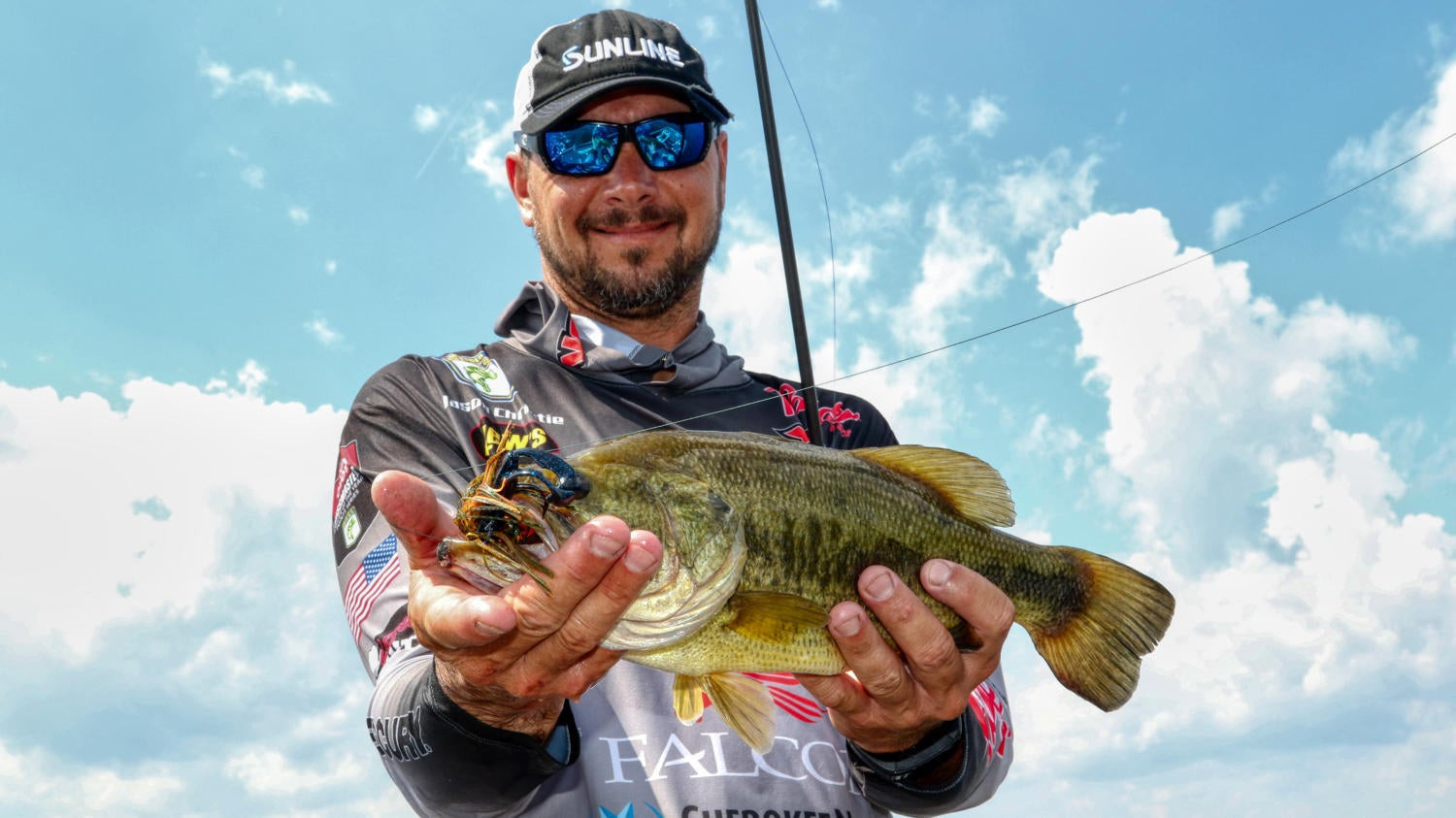
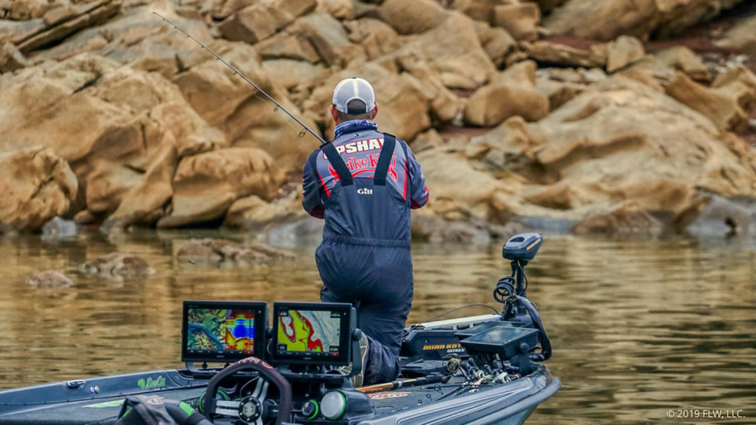
FLW Tour pro Andrew Upshaw leverages the contour shading to shortcut his way to finding the”sneaky” schools that can win tournaments.
“I can see holes in points, exact cuts on ledges and little intricate details on the relief shading that other maps just don’t give you,” he said.
Proof from field testing
Upshaw, who found Garmin’s high-definition relief shading helpful during his recent FLW Tour win on Cherokee Lake, said the new perspective takes the guesswork out of reading contour lines and practically colors your depth shading for you. In his case, steep banks with deep water, big boulders and subtle turns defined the winning scenario.
“Unlike traditional mapping, it showed me slight depressions and deeper stretches of bank,” he said. “The definition of relief shading is much clearer than traditional mapping, and I was cross checking it with Google Earth. This helped me find every area I fished and gave me a clear advantage.”
Christie’s views the new relief shading as a complementary to traditional contour line maps, which remain critical to identifying small depth changes.
For example, shallow bowl lakes like Okeechobee, where a few inches of depth variance can be a big deal will be easier seen on contour maps.
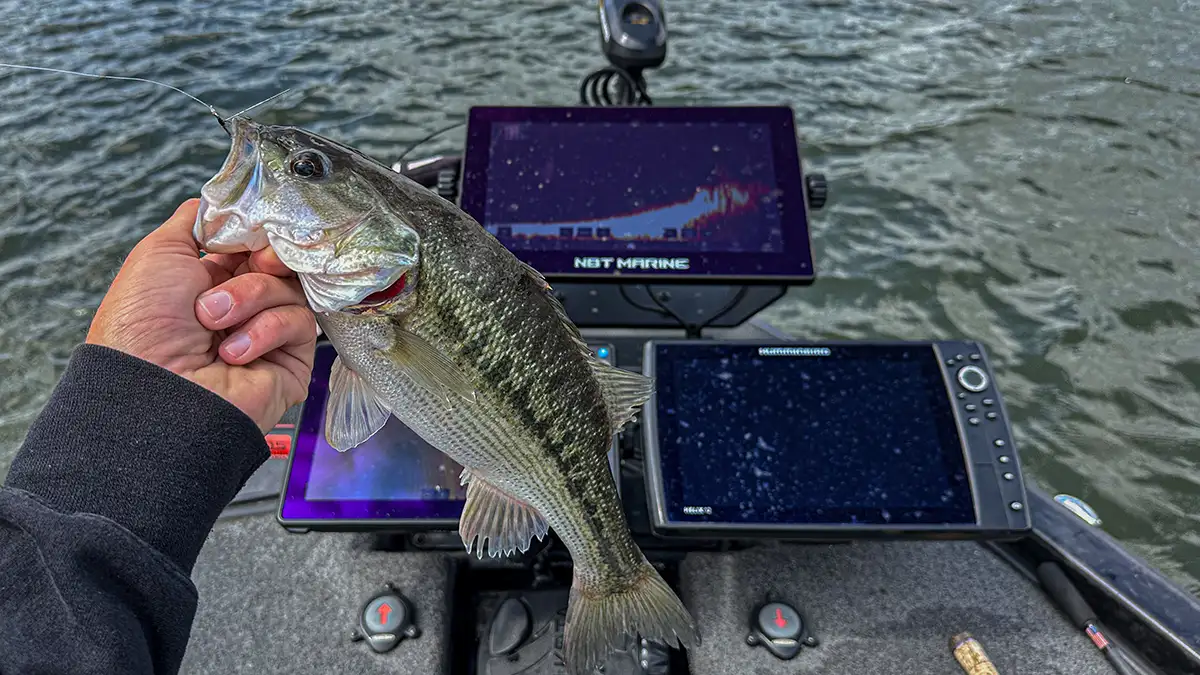
“I run a unit with typical contours and another with relief shading at the same time,” Upshaw said. “I can refer back and forth between both units to cross check accuracy on the fly. Makes life 10 times easier.”